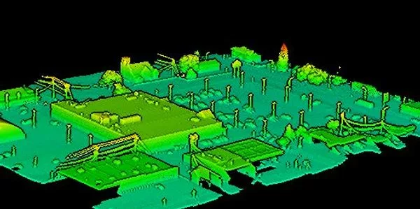
Thunderbird Geospatial Inc. is a cutting-edge geospatial company specializing in high-precision LiDAR scanning and 3D mapping solutions for diverse industries including engineering, surveying, film production, and asset management. They combine advanced airborne and ground-based LiDAR technology with photogrammetry, GPS/GNSS receivers, and innovative software to deliver detailed digital models that enhance decision-making and operational efficiency while reducing time and costs compared to traditional methods. Their services extend into the film industry by providing accurate VFX scanning on set to accelerate creative workflows. Committed to quality, accuracy, innovation, versatility, client satisfaction plus respect for Indigenous territories where they operate in Winnipeg Manitoba underscore their mission of transforming reality – one scan at a time.
Sorry, no records were found. Please adjust your search criteria and try again.
Sorry, unable to load the Maps API.