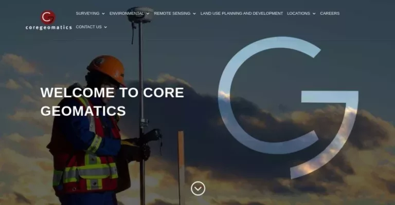
Core Geomatics, founded in 2009 by four innovators, is a Western Canada-based company specializing in surveying, environmental services, remote sensing, and land use planning. They take a creative and modern approach by operating within a virtual and paperless environment to enhance efficiency. Their diverse surveying services cover everything from real property reports to infrastructure development, energy sectors including renewable energy and pipeline integrity as well as mining surveys. Environmental offerings include planning, natural sciences support, construction monitoring and reclamation efforts. Advanced remote sensing capabilities utilize drone UAVs and laser scanning technologies alongside GIS mapping to deliver high-resolution data solutions. With offices across Alberta, British Columbia and Saskatchewan including major cities like Calgary Vancouver Edmonton Regina Saskatoon the firm combines extensive experience with innovative technology while fostering flexible work environments for their team members. Partnerships such as with CVL Engineering further strengthen their service excellence across multiple disciplines ensuring they meet or exceed client expectations throughout Western Canada.
Sorry, no records were found. Please adjust your search criteria and try again.
Sorry, unable to load the Maps API.

