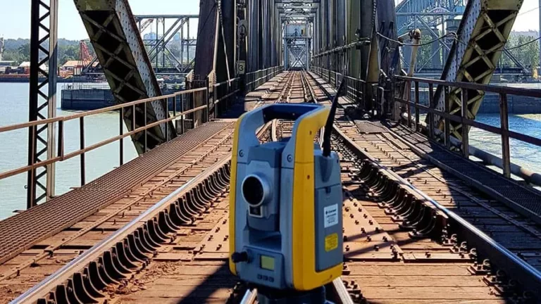
Underhill Geomatics is a Canadian professional land surveying and geomatics engineering firm with over 100 years of experience since its founding in 1913. They offer comprehensive geospatial consulting and technical services across British Columbia, Yukon, Northwest Territories, Nunavut, and throughout Canada. Their expertise spans a wide range of advanced surveying techniques including cadastral and legal surveys, reality capture with 3D laser scanning, topographic and hydrographic surveys, aerial surveys using UAVs, deformation monitoring, railway inspections, construction support services especially for major infrastructure projects like bridges and transit systems. Underhill has contributed to many historically significant developments such as the Vancouver-Whistler Winter Olympics venues while combining traditional tools with cutting-edge technology like building information modeling (BIM). Committed to safety and environmental responsibility they maintain multiple offices in BC’s Kamloops,Vancouver,and Vancouver Island plus Whitehorse in Yukon. Notable projects include work on First Nations land agreements as well as large-scale infrastructure including tunnels,resorts,mining operations,and port terminals underpinning their reputation as one of Canada’s trusted geomatics experts delivering flexible technologically advanced solutions that shape communities nationwide.
Sorry, no records were found. Please adjust your search criteria and try again.
Sorry, unable to load the Maps API.


